Custom map preview
Free to use, including commercially, under CC BY 4.0 with attribution. Copy the linked credit or adapt it to your publishing policy.

Build a custom Idaho cities map, or download one with satellite imagery, elevation tinting, or shaded relief.
Choose the places, labels, marker data, layer, and colors. Download the result as SVG or PNG.
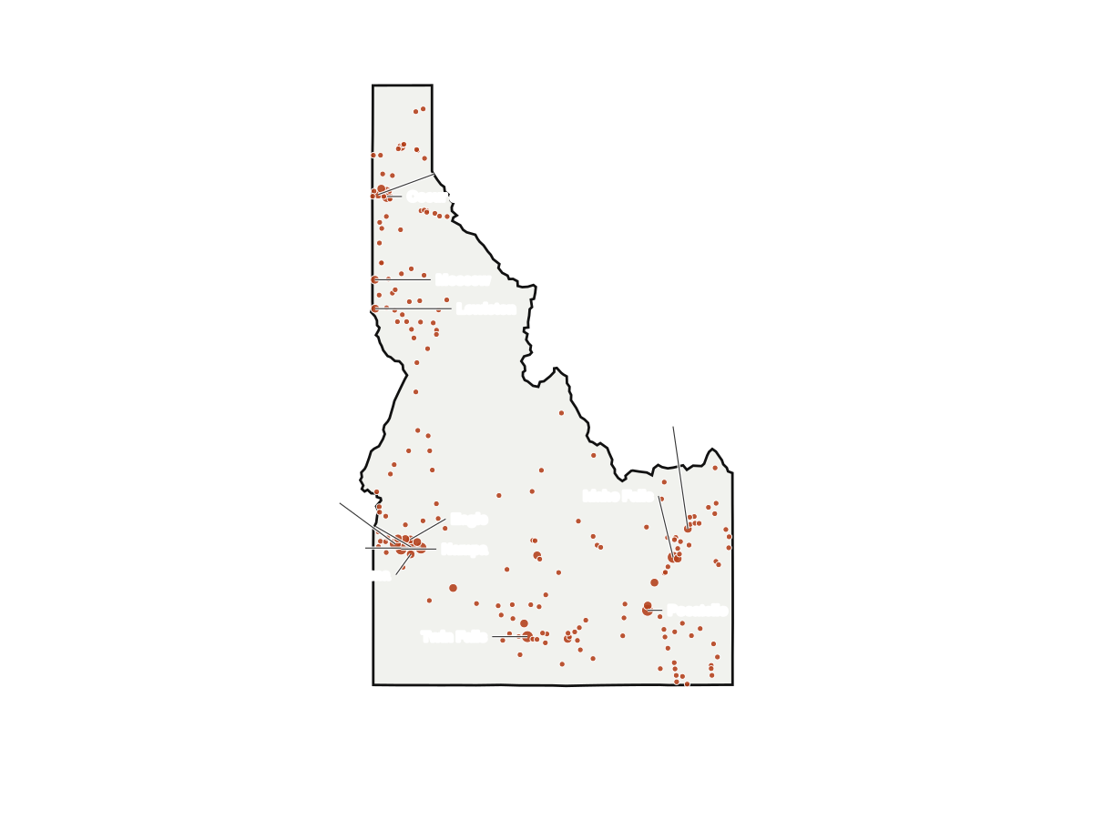
Color layer. No imagery loaded.
Custom map preview
Free to use, including commercially, under CC BY 4.0 with attribution. Copy the linked credit or adapt it to your publishing policy.
The same places on three geographic layers. Each image has a stable PNG and SVG URL and is free to reuse with attribution.
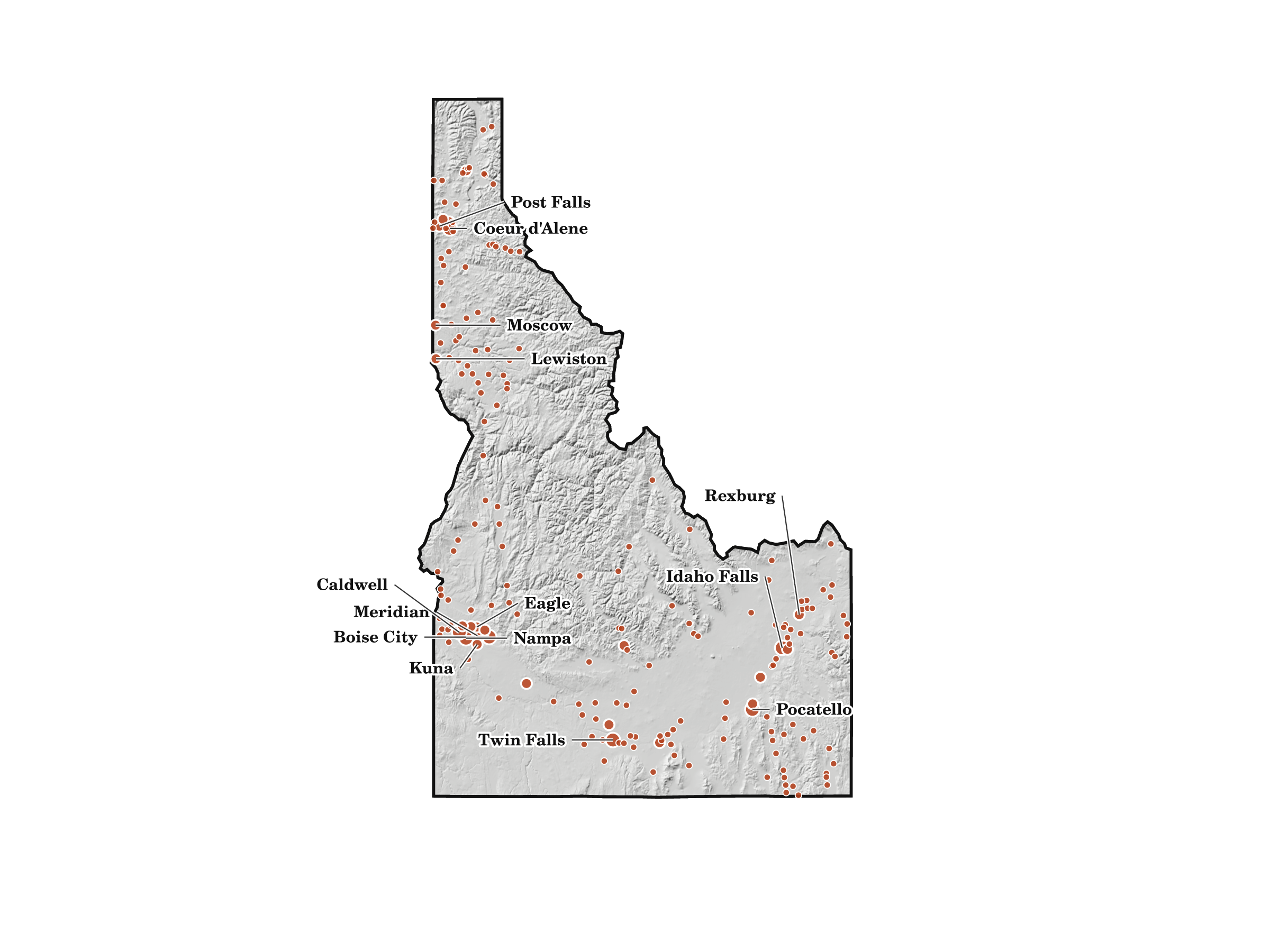
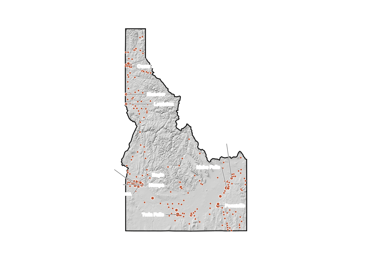
Shaded relief beneath all 198 places in this map. The 14 largest are labeled.
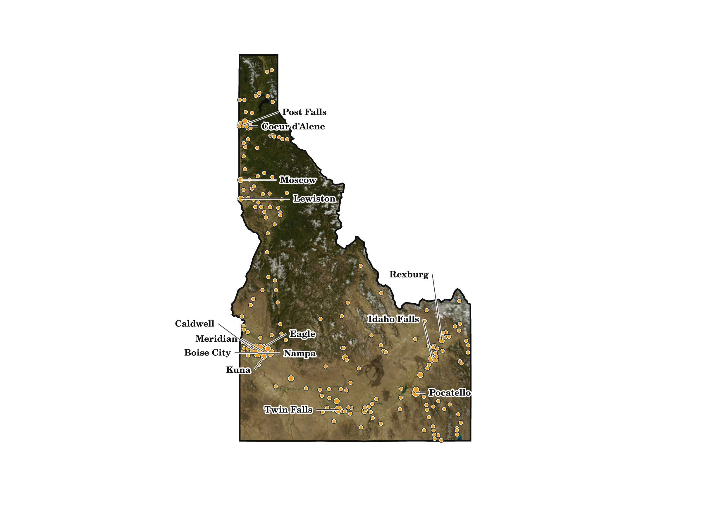
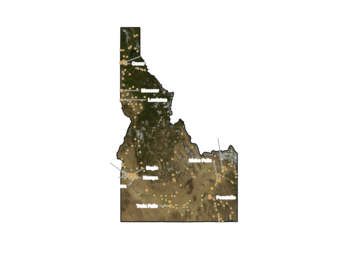
Satellite imagery beneath all 198 places in this map. The 14 largest are labeled.
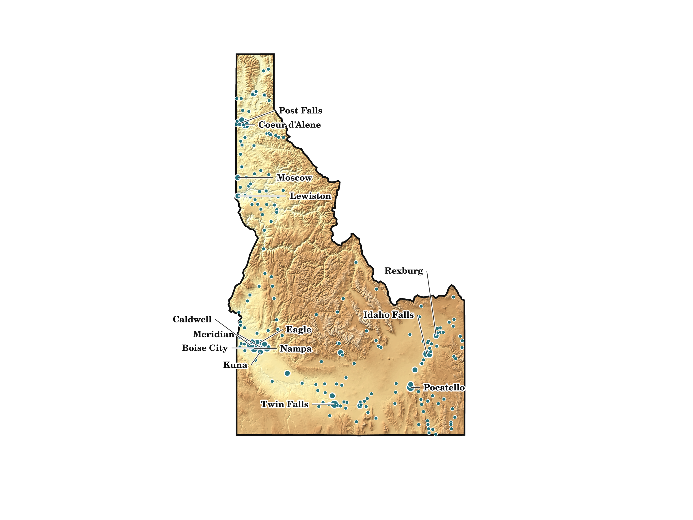
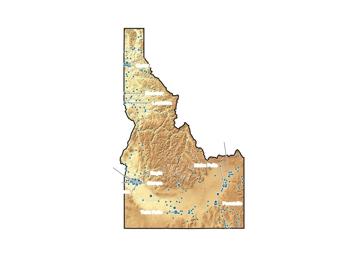
Elevation tinting beneath all 198 places in this map. The 14 largest are labeled.
Each Idaho cities map shows all 198 places in the Census Population Estimates Program, including cities, towns, villages, boroughs, and other legal place types. The 14 largest are labeled. Dots use Census Gazetteer locations and do not show municipal boundaries. Browse the Idaho cities directory for city profiles and population tables.
The downloads have no logo or watermark. PNG files are 2400 by 1800 pixels, and SVG files are editable. These original maps are free to use, including commercially, under CC BY 4.0.
When sharing a map, credit Every City in the USA and say if you modified it. The short linked credit below is our suggested default. You may edit it or qualify its link with nofollow or another rel value. A link that passes ranking credit is not required.
Map by Every City in the USA, licensed under CC BY 4.0.
Modified it? Add "Modified by [name]."
Place population: U.S. Census Bureau, V2025. Locations: 2025 National Places Gazetteer. State outline: 2024 Cartographic Boundary File. Image layers: public-domain USGS National Map and 3DEP. Map methodology.